The San Juan Mountains host the headwaters of rivers and streams that flow through Colorado, New Mexico, Arizona, and Utah. Evaluating the water quality in the upper reaches of these watersheds is crucial to the well-being of the variety of downstream ecosystems and human communities. In the early 1870s, the discovery of ore deposits in the San Juan Mountains caused miners to flock to Silverton and the Animas Mining District. Extensive mining, milling, and smelting continued into the 1900s, tapering until the last remaining mine closed in 1991. There have since been numerous reclamation efforts lead largely by the Animas River Stakeholders group (ARSG), the Bureau of Land Management (BLM), and the Colorado Division of reclamation and Mining Safety (DRMS). After the 2015 Gold King Mine waste water release, the area now known as the Bonita Peak Mining District (BPMD), and specifically 48 historic mining sites within the BPMD, were listed on the National Priorities List (NPL), by the Environmental Protection Agency (EPA), under the Comprehensive Environmental Response, Compensation, and Liability Act (CERCLA), known also as Superfund. The primary goal of the Superfund program is to protect public health and ecological well-being through reducing contamination in impacted areas.
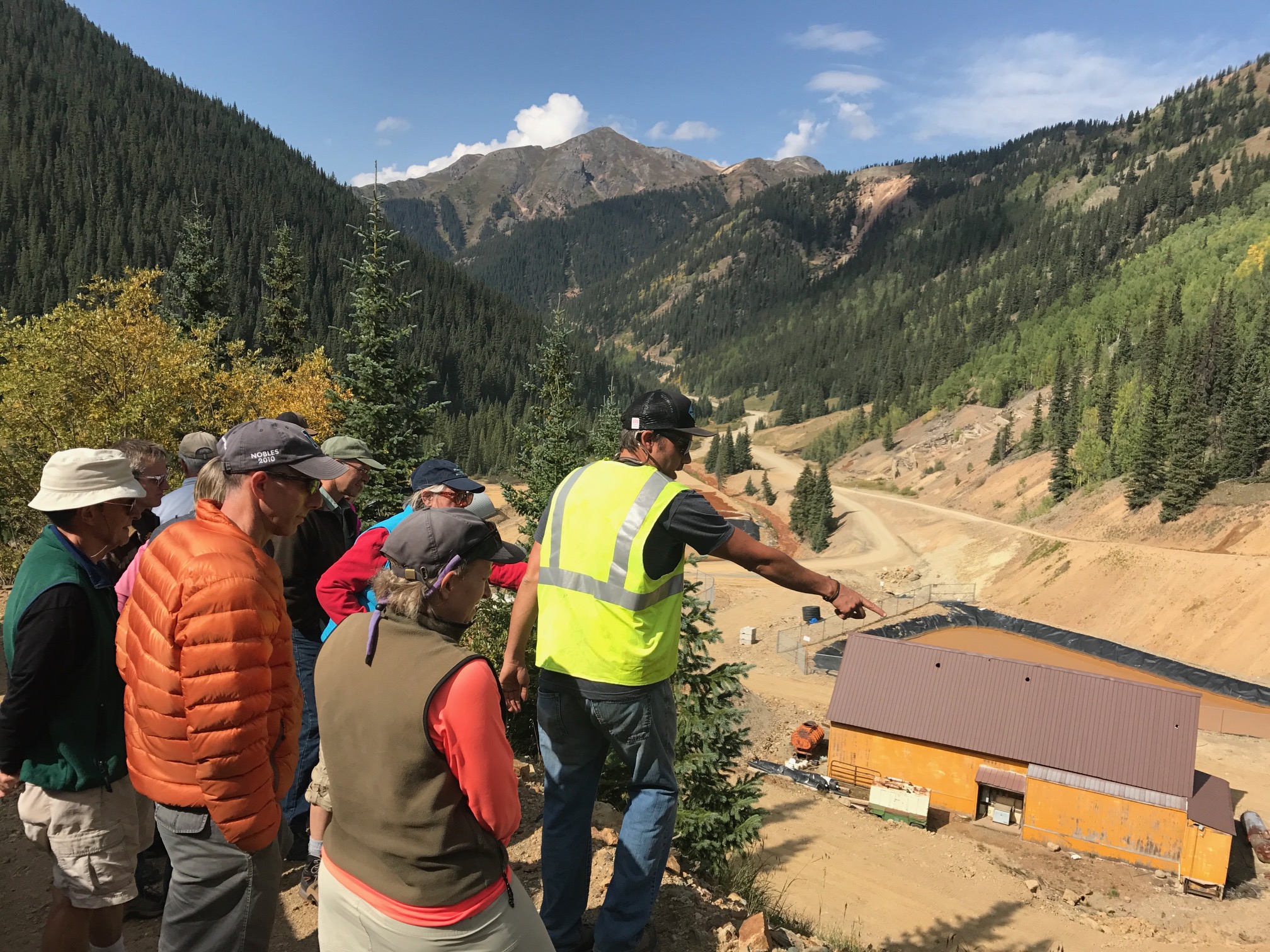
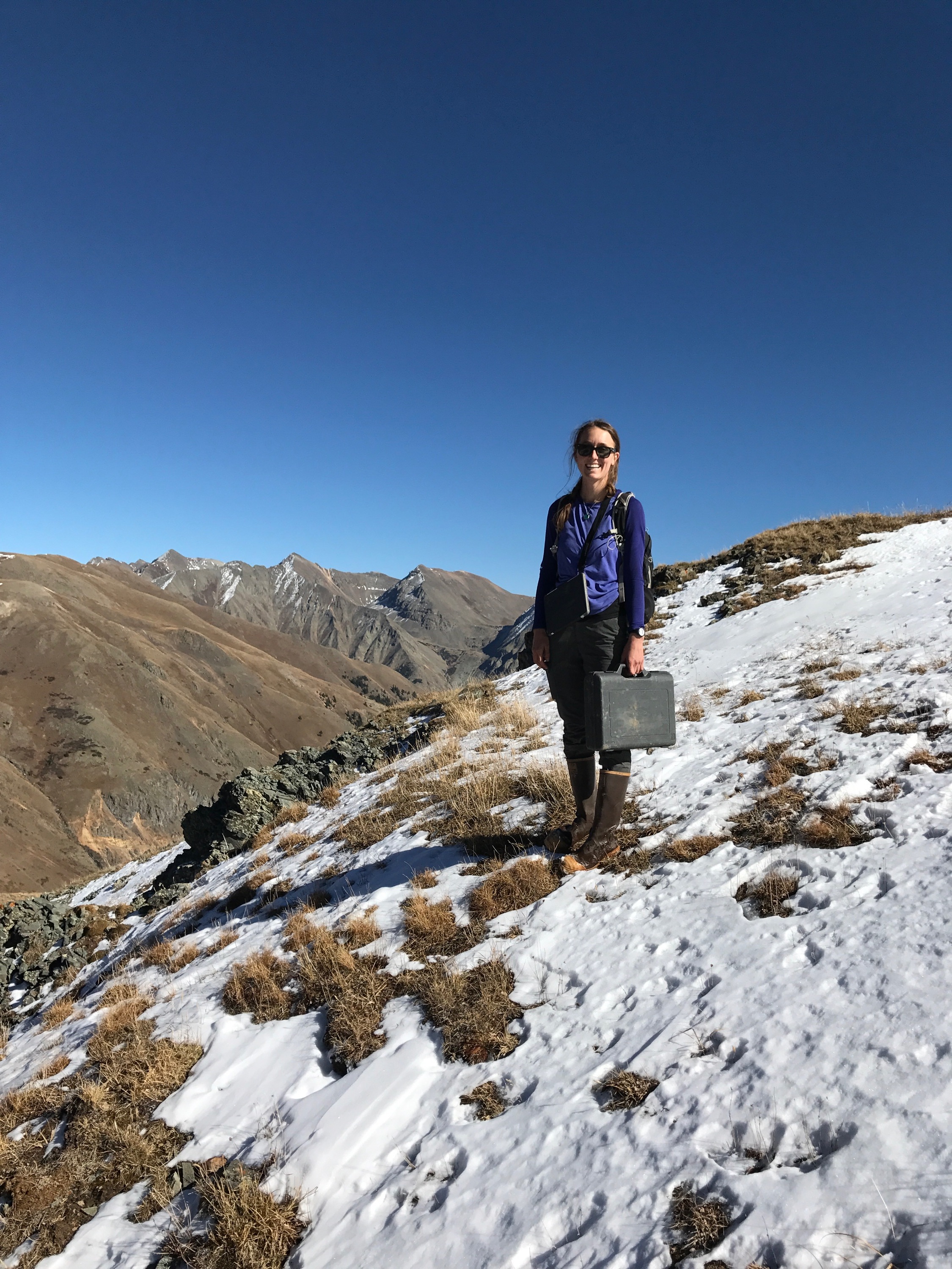
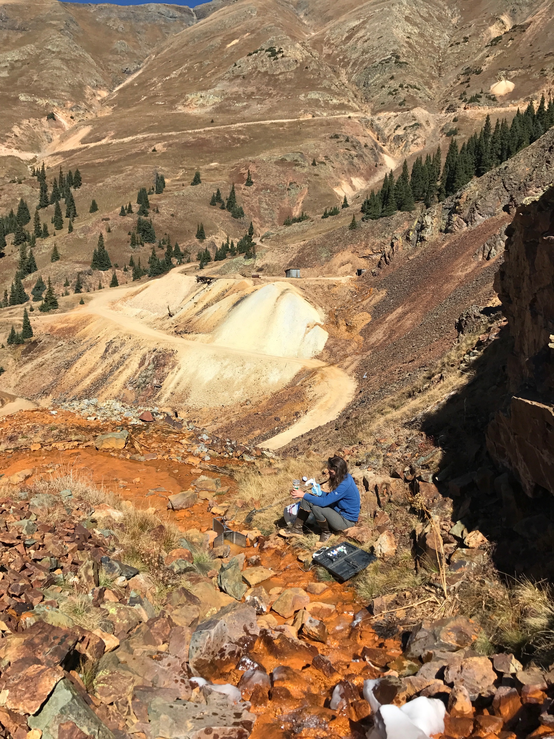
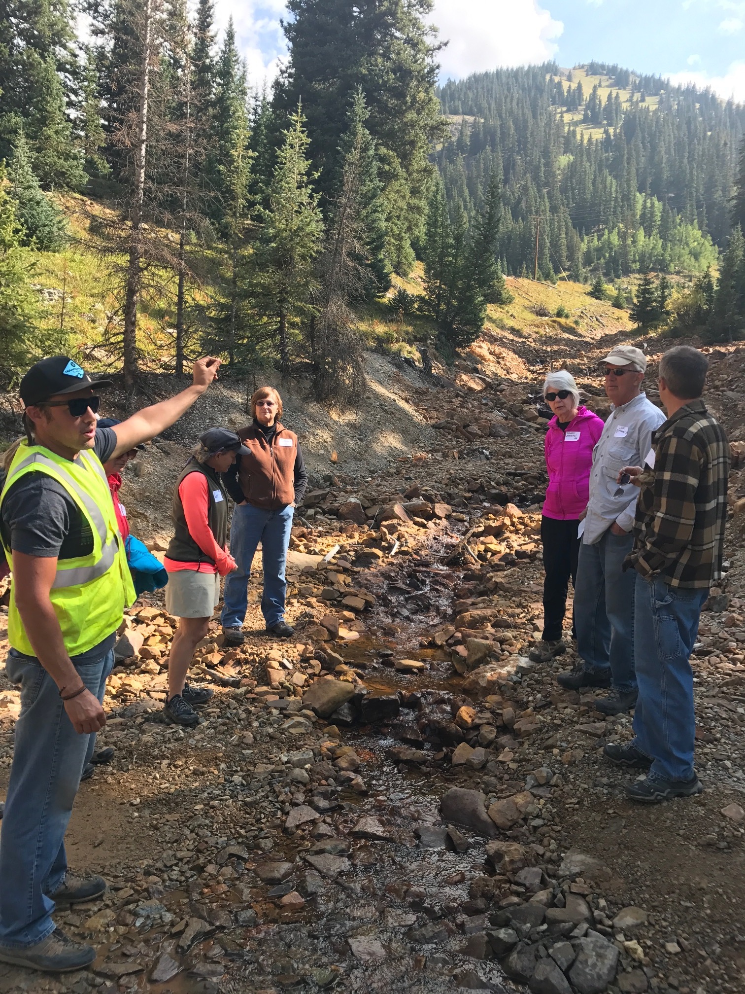
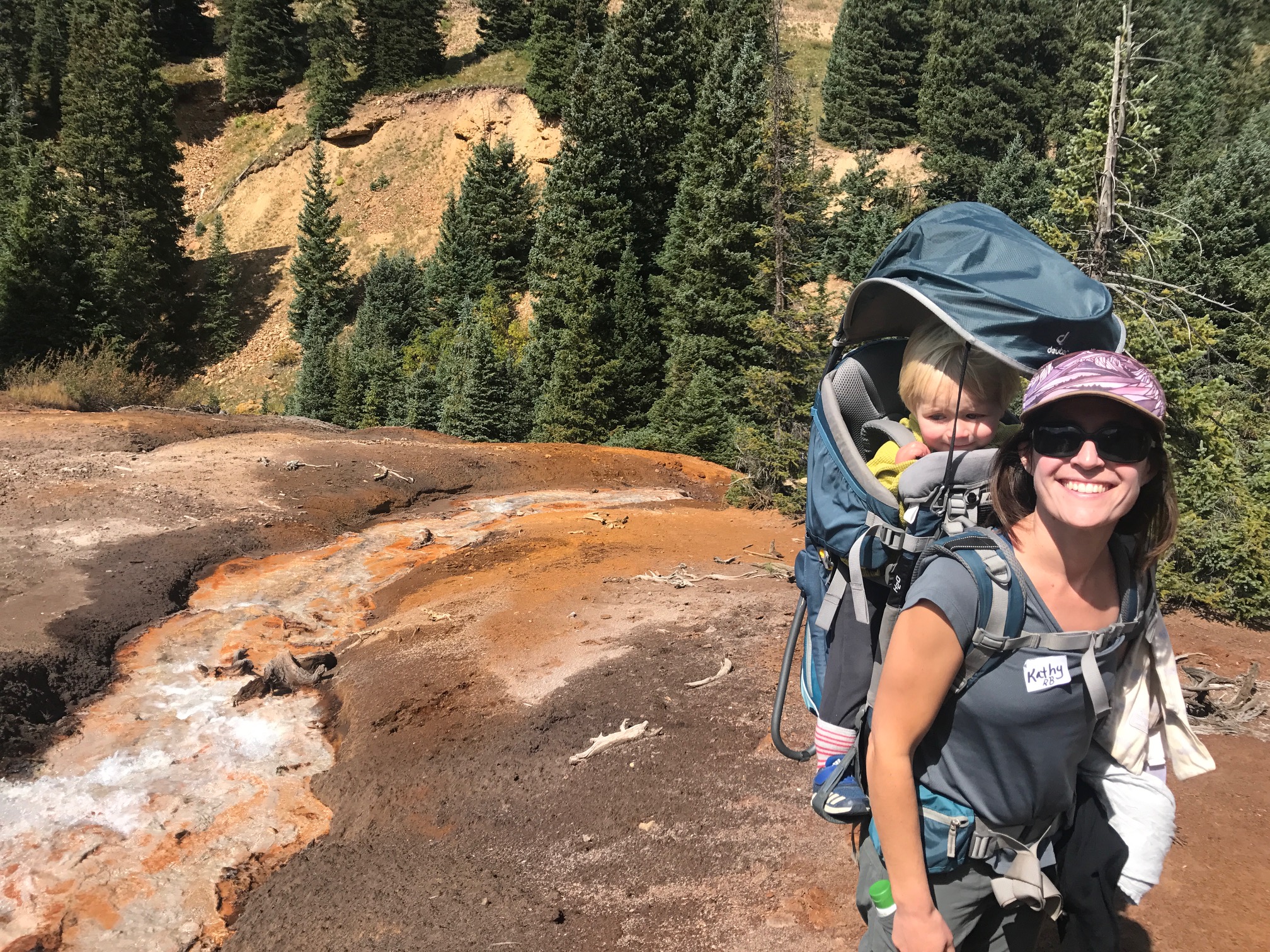
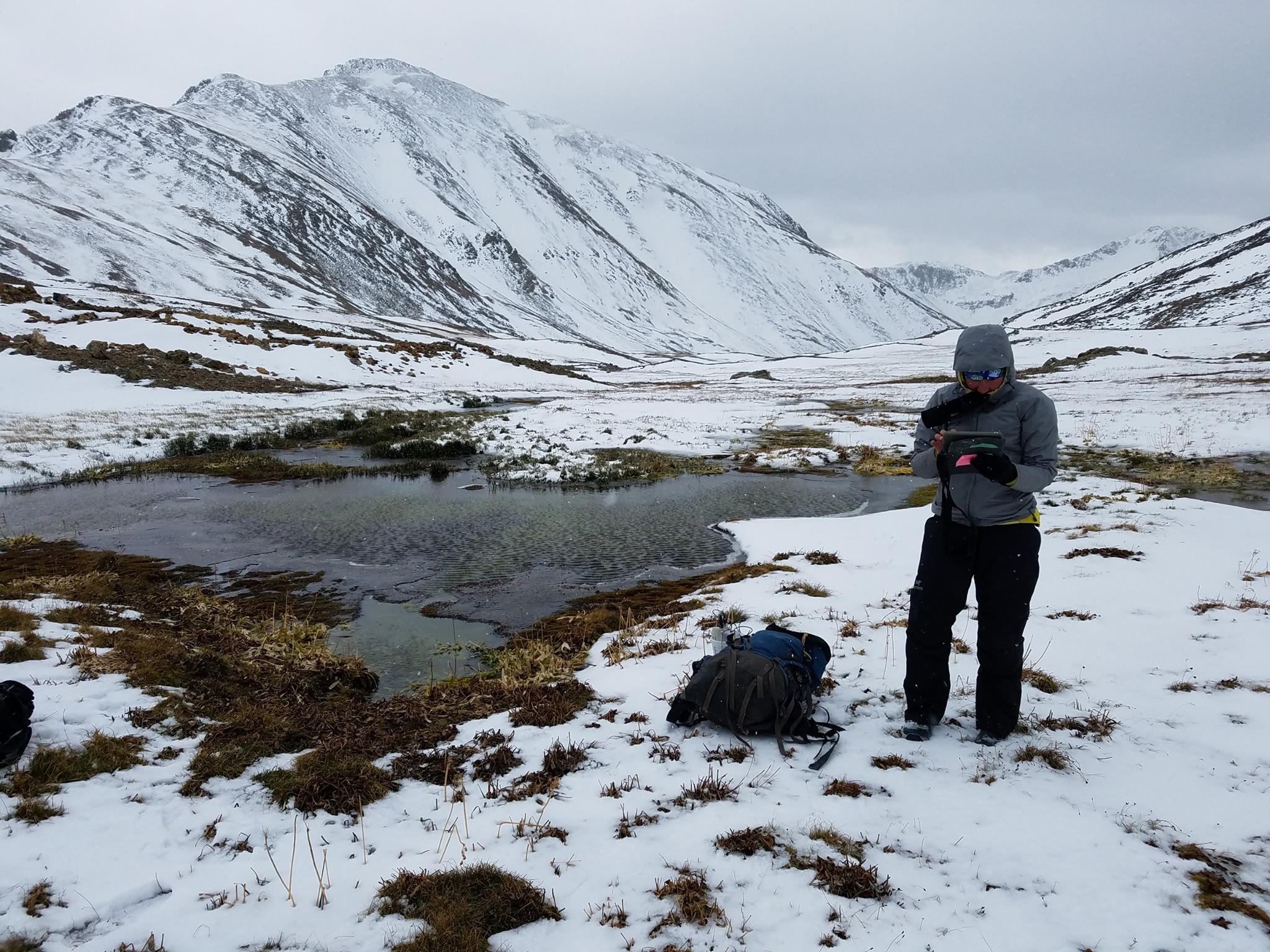
MSI, the EPA, the Colorado DRMS, and CDM Smith are working together to assess the type and extent of mining contamination occurring within the Cement Creek and Upper Animas River drainages. These join with Mineral Creek to form the Animas River, which is used for drinking water, recreation, and agriculture. Past studies by the Animas River Stakeholders Group, United States Geological Survey (USGS), BLM, United States Forest Service (USFS), EPA, Colorado Department of Parks and Wildlife, and the Colorado Department of Health and Environment have shown metals, such as, arsenic, cadmium, copper, manganese, zinc, lead, and aluminum to have a negative impact on aquatic life in the Animas River watershed. Beginning in fall 2016, MSI field crews visited over 200 seeps and springs in and around the BPMD during periods of both high (Spring) and low (Fall) flow, sampling water from each site. This ongoing project allows us to evaluate the water quality of each water source. The study also enables an understanding of the interaction between ground water, the region’s complex geology, and the mining legacy of the BPMD. Ultimately, this effort will help inform decisions related to future remediation actions.