The importance of snow
Snow in our forested mountain systems is the primary source of water for municipal, agricultural, recreational, and industrial water demands representing 75-90% of our water supply. Unfortunately, these systems are experiencing large changes due to shifts in temperature leading to larger wildfires and a decreased snowpack.
Snowtography: cutting edge with simple tools
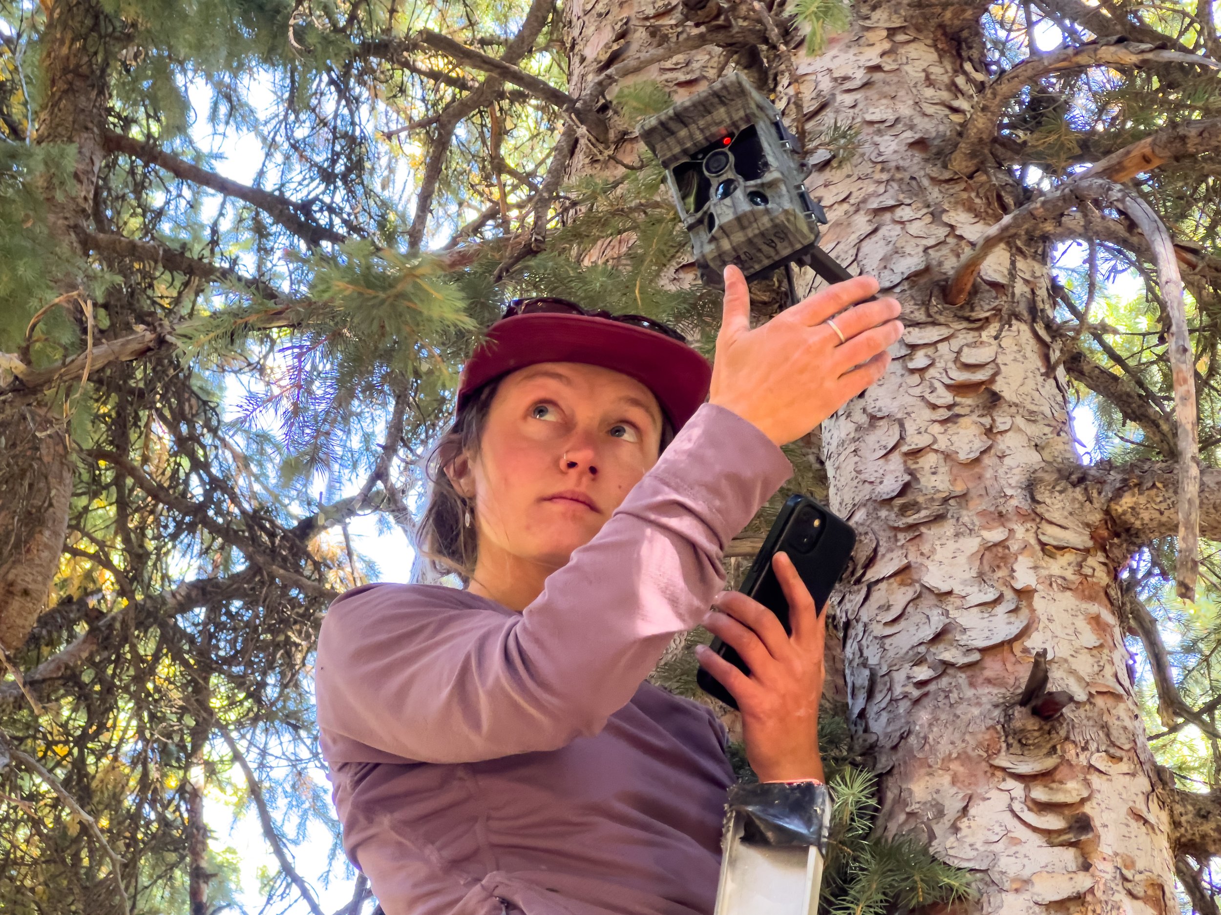
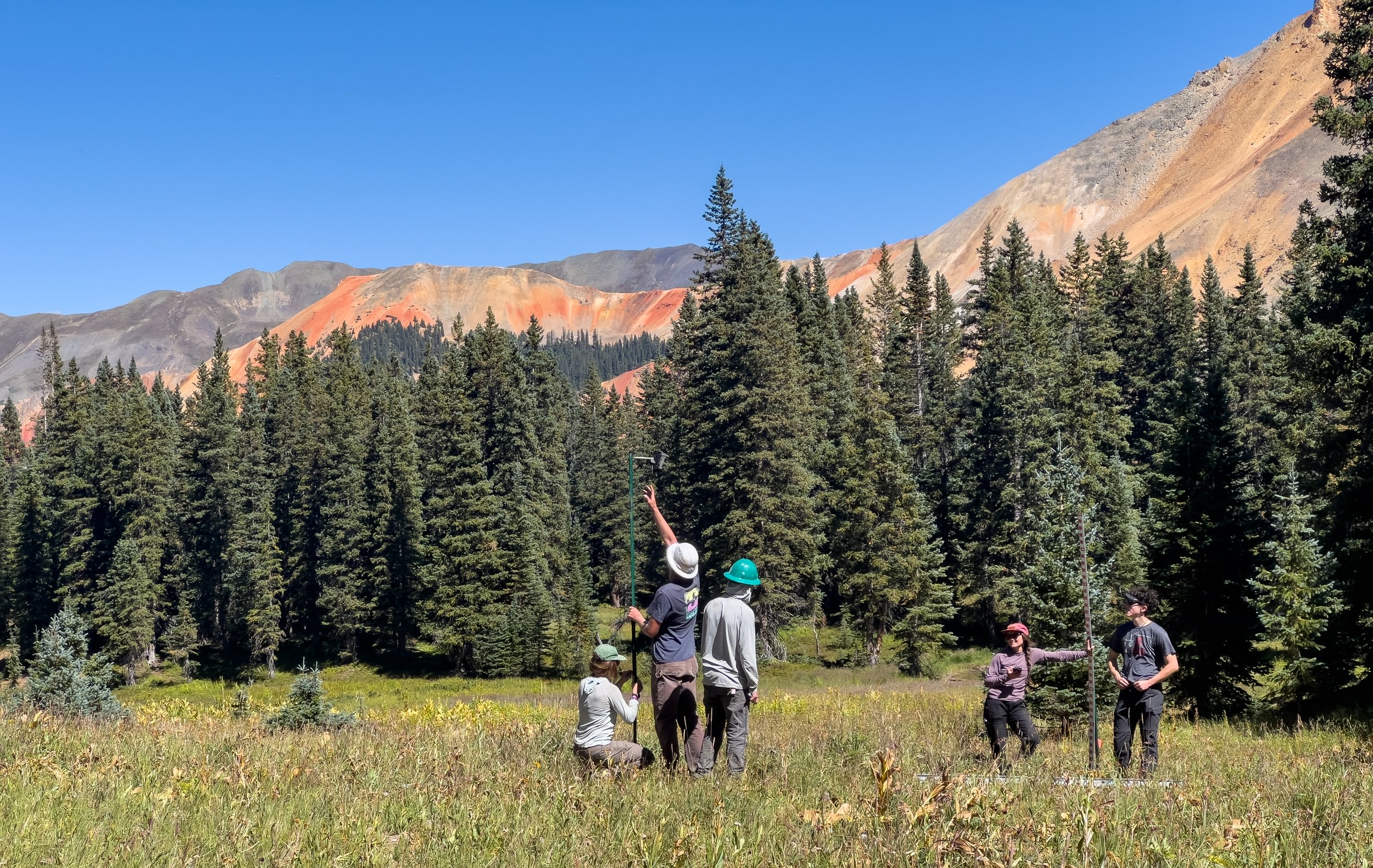
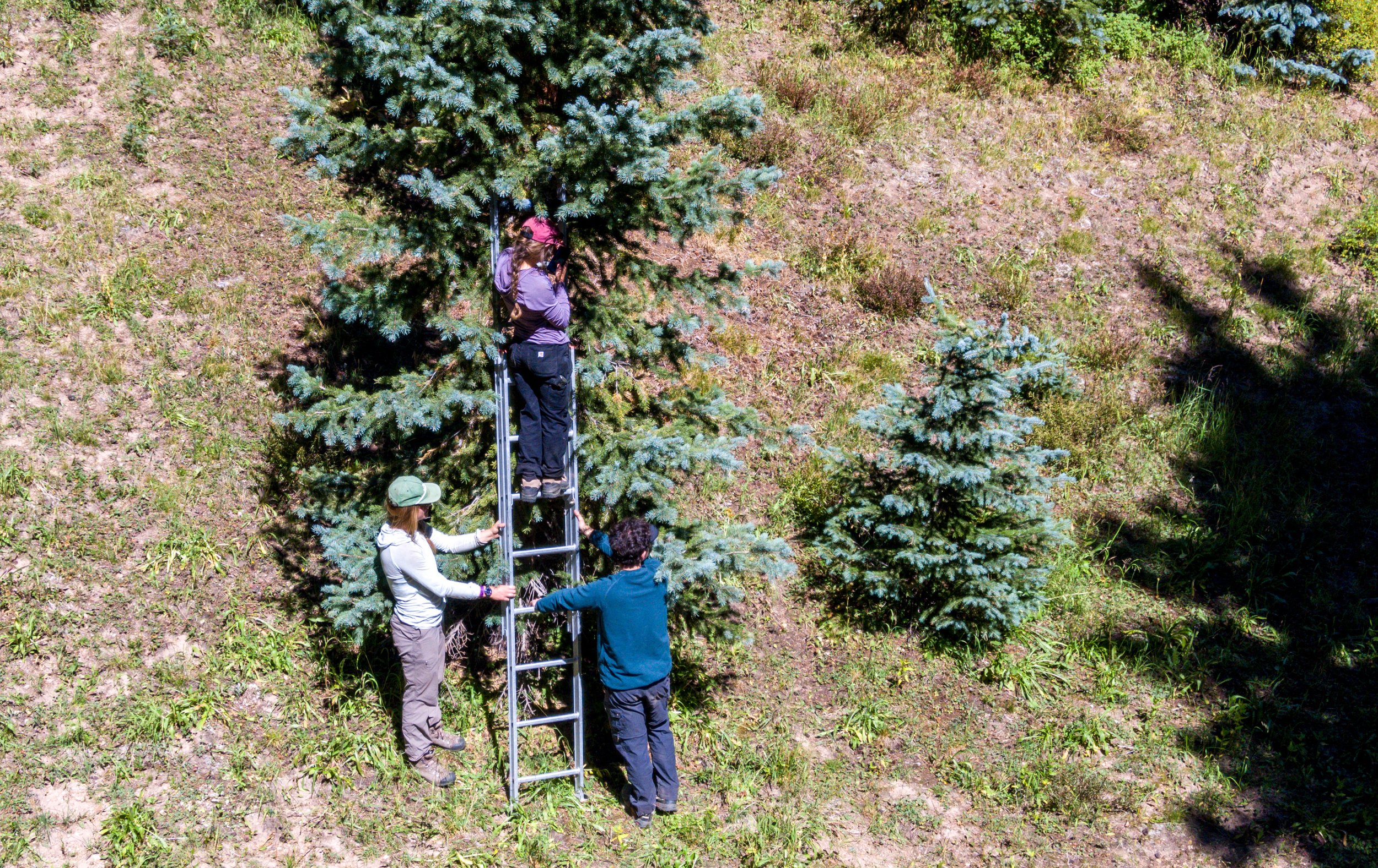
Snowtography is a low-cost monitoring technique that allows us to understand how different forest structures and canopy cover impact snow accumulation, retention and ablation. An existing network of monitoring sites, called SNOTEL, already exists across the western US, but these sites are placed in open meadows at high elevations and do not represent the complexity of forest structures we see across the landscape.
What sets snowtography apart is its simplicity and therefore ability to be implemented at multiple locations at a much lower cost than SNOTEL (about 50 times less expensive). Each snowtography site uses automated trail cameras that use time-lapse photography to observe snow stakes (a sort of measuring stick) on a transect (a line).
While SNOTEL is an irreplaceable resource for water resource managers, we hope to build a regional network of snowtography sites to not only understand our current water availability, but to also build an understanding of how forest structure, type, and location impact our water resources. The ultimate goal is to see if there is a possibility to increase water yields while reducing wildfire risk, but at a minimum, this effort will aid in improving our hydrologic modeling in these complex systems.
The Nature Conservancy alongside Wester Water Associates developed the original handbook and piloted sites in Arizona and Southwest Colorado: Snowtography: Snowpack & Soil Moisture Monitoring Handbook in 2021.
Snowtography in the San Juan Mountains
Collaborators include the Center for Snow and Avalanche Studies, The Nature Conservancy, USDA Agricultural Research Service, Western Water Assessment, Fort Lewis College, Mountain Studies Institute, San Juan Headwaters Forest Health Partnership, Northern Arizona University and Dolores Watershed Resilient Forest Collaborative.
The project is made possible by funding from: The Nature Conservancy, Colorado Water Conservation Board, Southwest Basin Roundtable, Southwestern Water Conservation District, San Juan Headwaters Forest Health Partnership, and the Town of Silverton.

More information
Read this article from The Water Desk out of the University of Colorado about the Swamp Angel site.
Read this article from the Durango Herald about our Jackson Mountain site.
Read this article from the Durango Telegraph about local snowtography efforts.
Read the “Proposal for San Juan Snowtography Network Expansion and Regional Analysis” submitted by MSI and the Center for Snow and Avalanche Studies
Read this academic article about previous snowtography research in Arizona.