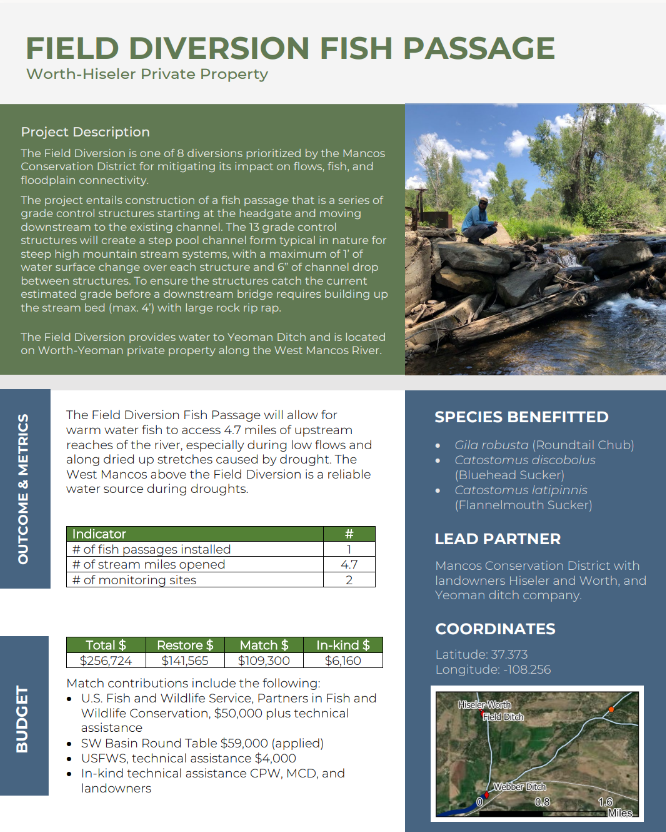
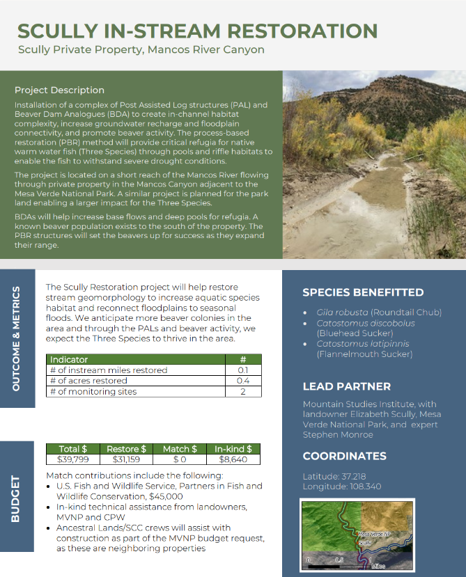
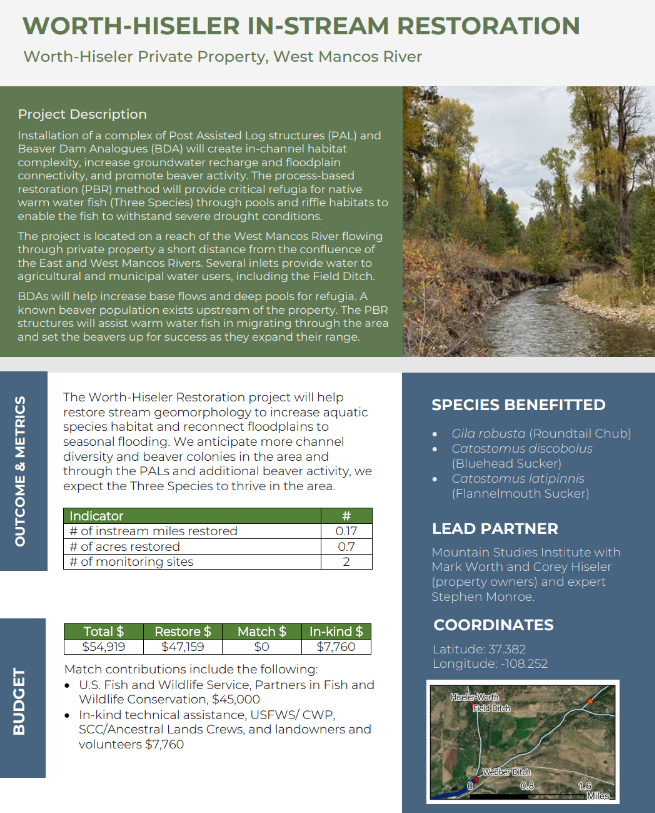
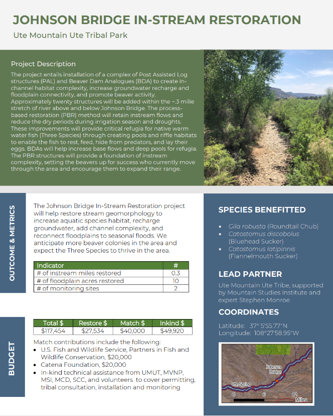
Snowtography

The importance of snow

Snow in our forested mountain systems is the primary source of water for municipal, agricultural, recreational, and industrial water demands representing 75-90% of our water supply. Unfortunately, these systems are experiencing large changes due to shifts in temperature leading to larger wildfires and a decreased snowpack.

Snowtography: cutting edge with simple tools

Snowtography is a low-cost monitoring technique that allows us to understand how different forest structures and canopy cover impact snow accumulation, retention and ablation. An existing network of monitoring sites, called SNOTEL, already exists across the western US, but these sites are placed in open meadows at high elevations and do not represent the complexity of forest structures we see across the landscape.

What sets snowtography apart is its simplicity and therefore ability to be implemented at multiple locations at a much lower cost than SNOTEL (about 50 times less expensive). Each snowtography site uses automated trail cameras that use time-lapse photography to observe snow stakes (a sort of measuring stick) on a transect (a line).

While SNOTEL is an irreplaceable resource for water resource managers, we hope to build a regional network of snowtography sites to not only understand our current water availability, but to also build an understanding of how forest structure, type, and location impact our water resources. The ultimate goal is to see if there is a possibility to increase water yields while reducing wildfire risk, but at a minimum, this effort will aid in improving our hydrologic modeling in these complex systems.

The Nature Conservancy alongside Wester Water Associates developed the original handbook and piloted sites in Arizona and Southwest Colorado: Snowtography: Snowpack & Soil Moisture Monitoring Handbook in 2021.

Snowtography in the San Juan Mountains

Collaborators include the Center for Snow and Avalanche Studies, The Nature Conservancy, USDA Agricultural Research Service, Western Water Assessment, Fort Lewis College, Mountain Studies Institute, San Juan Headwaters Forest Health Partnership, Northern Arizona University and Dolores Watershed Resilient Forest Collaborative.

The project is made possible by funding from: The Nature Conservancy, Colorado Water Conservation Board, Southwest Basin Roundtable, Southwestern Water Conservation District, San Juan Headwaters Forest Health Partnership, and the Town of Silverton.

More information

Climate Station Monitoring

Mountain Studies Institute staff has built, maintains, and monitors three climate stations, two in San Juan County, in Minnehaha Basin and at Gladstone, and another in San Miguel County on the Telluride Valley Floor. These climate stations, which sit at about 10,000 - 11,000 feet, provide livestream data of weather parameters with 10 minute resolution.

We are proud that our climate stations are setup for online monitoring and that means that you can see the data as we know it. Click the link below to monitor the data for Minnehaha Basin, Telluride Valley Floor, and Gladstone precipitation.

Live weather data and winter monitoring utilizes telemetry, which includes FM radios and iridium satellites. We also dig monthly snow pits at the climate stations outside of Silverton to create a temperature profile, verify our Snow Water Equivalent, and collect an isotope sample.

MSI offers climate station design, construction, maintenance and monitoring services to a variety of organizations up and down the Western Slope, including ski areas, municipalities, federal agencies, and collaborative watershed groups.

For more information on this exciting work contact Haley Farwell at haley@mountainstudies.org.

Bonita Peak Mining District

IMG_1647.JPG

The San Juan Mountains host the headwaters of rivers and streams that flow through Colorado, New Mexico, Arizona, and Utah. Evaluating the water quality in the upper reaches of these watersheds is crucial to the well-being of the variety of downstream ecosystems and human communities. In the early 1870s, the discovery of ore deposits in the San Juan Mountains caused miners to flock to Silverton and the Animas Mining District. Extensive mining, milling, and smelting continued into the 1900s, tapering until the last remaining mine closed in 1991. There have since been numerous reclamation efforts lead largely by the Animas River Stakeholders group (ARSG), the Bureau of Land Management (BLM), and the Colorado Division of reclamation and Mining Safety (DRMS). After the 2015 Gold King Mine waste water release, the area now known as the Bonita Peak Mining District (BPMD), and specifically 48 historic mining sites within the BPMD, were listed on the National Priorities List (NPL), by the Environmental Protection Agency (EPA), under the Comprehensive Environmental Response, Compensation, and Liability Act (CERCLA), known also as Superfund. The primary goal of the Superfund program is to protect public health and ecological well-being through reducing contamination in impacted areas.


MSI, the EPA, the Colorado DRMS, and CDM Smith are working together to assess the type and extent of mining contamination occurring within the Cement Creek and Upper Animas River drainages. These join with Mineral Creek to form the Animas River, which is used for drinking water, recreation, and agriculture. Past studies by the Animas River Stakeholders Group, United States Geological Survey (USGS), BLM, United States Forest Service (USFS), EPA, Colorado Department of Parks and Wildlife, and the Colorado Department of Health and Environment have shown metals, such as, arsenic, cadmium, copper, manganese, zinc, lead, and aluminum to have a negative impact on aquatic life in the Animas River watershed. Beginning in fall 2016, MSI field crews visited over 200 seeps and springs in and around the BPMD during periods of both high (Spring) and low (Fall) flow, sampling water from each site. This ongoing project allows us to evaluate the water quality of each water source. The study also enables an understanding of the interaction between ground water, the region’s complex geology, and the mining legacy of the BPMD. Ultimately, this effort will help inform decisions related to future remediation actions.

Mancos River RESTORE Project

The Restoring Riparian and Instream Habitat on Mancos River to Improve Connectivity for Native Fish (CO) project involves Mountain Studies Institiute with the National Fish and Wildlife Foundation. This project will benefit imperiled warm water native fish: Roundtail Chub, Bluehead Sucker and Flannelmouth Sucker.

Project Summary:

The Mancos River is a unique tributary of the San Juan and Colorado rivers for conservation: (1) native warm water fish are protected from predators by an impassible barrier near the San Juan confluence, and (2) 65% of the watershed is on the Ute Mountain Ute Reservation, one of Colorado’s two federally recognized tribes. River flows have declined by 60%, which dries up by July due to diversions and drought.

The Restoring Riparian and Instream Habitat on Mancos River to Improve Connectivity for Native Fish will benefit the imperiled Roundtail Chub, Bluehead Sucker and Flannelmouth Sucker while improving in-stream and riparian habitat for other wildlife, beneficiary communities, and Ute Mountain Ute Tribe who values the water, cottonwoods, and native shrubs our project will restore. We will rectify 2 fish passage barriers, open access to 16 miles of stream for refugia, restore 1.34 miles of stream geomorphology and aquatic habitat, restore 11.32 acres of floodplain, and treat 40 acres for tamarisk.

To achieve the outcomes, activities will: 1) Connect fish to in-stream habitat and improve hydrology; 2) Restore riparian habitat and revegetate degraded floodplains; and 3) Build cross-community capacity for restoration, sustainability, and scaling. Eight projects build on Phase 1 activity, span multiple jurisdictions (public, private, Tribal) and are prioritized in regional plans. Partners are the Ute Mountain Ute Tribe, Mesa Verde National Park, and Mancos Conservation District.

Below is MSI’s YouTube video on the RESTORE Project


For more details of the project, click the images below

Webber Diversion Fish Passage

Field Diversion Fish Passage

Scully In-Stream Restoration

Worth-Hiseler In-Stream Restoration

Johnson Bridge In-Stream Restoration

Johnson Bridge Riparian Restoration

Ute Spring Restoration

Upper Mancos River Canyon Restoration


Mancos River Restoration and Resilience

The Mancos River Restoration and Resilience Group (MRR) is a science working group formed by stakeholders with a shared interest to understand the current status of the Mancos River and identify opportunities to for restoration and building resilience in the watershed. Since its start in 2014, the group has collaborated to gather existing data, summarize the current state of the river, identify information needs, and select priority actions to. Mancos Conservation District and Mancos River Watershed Group are compiling existing data in order to assess the resilience of the Mancos River in meeting multiple uses and values in the face of changing climate conditions.

In 2020, the group completed a project “Drought Resilience for the Mancos Watershed.” To support land and resource managers in addressing the challenges and uncertainty of drought in the region, we developed a  process that integrates existing best practices and research to identify and prioritize locally relevant, climate-informed drought resilience strategies across multiple values. Through an iterative, multi-stakeholder effort, we integrated innovations in participatory approaches and scenario planning with a structured decision support framework. Specifically, the decision support framework entailed the following steps:

  • Identify community concerns, challenges, and questions, and develop shared values.

  • Define key vulnerabilities and stressors under future climate scenarios both spatially and narratively

  • Determine specific and shared goals for the persistence of each of those values.

  • Brainstorm additional strategies for achieving goals associated with each value (both existing and potential strategies).

  • Rank and prioritize strategies; identify spatially explicit opportunities for implementation in identified sub-reaches

In the process, it was clear that the Mancos Watershed and the values that stakeholders identified are highly vulnerable to changing climate conditions, that there are actions we can take to reduce those vulnerabilities, and that where we work within the watershed matters when it comes to where we will have the greatest impact. While this effort alone does not constitute a complete drought resilient plan for the Mancos Watershed, the drought resilience decision framework will help managers both consider and demonstrate the integration of climate-informed strategies into deciding what actions to take and where to take them across the entire watershed. The process may be applied to additional conservation values to integrate drought-informed thinking into existing investments and future management plans and could also be adapted for use in other watersheds or regions.  

Read the plan here.
For additional information, please visit www.mancoscd.org.

The MRR Steering Committee guides the efforts of our collaboration: directs the collection of existing data and data gaps assessment, provides direction for the Mancos River Assessment, and assists with stakeholder engagement in the development and delivery of the report. The Steering Committee is open to anyone who would like to support its function. To volunteer, contact Page (page@mountainstudies.org).

RESOURCES

Reports and Plans

Prioritized Drought Resilience for the Mancos Watershed, Final Report, 2021

Drought and Change in the Mancos Watershed, Final Report, 2019

Mancos Watershed plan, 2011

Functional Assessment of the Mancos River Watershed


Alpine Hydrology Course

alpine hydrology course

The Alpine Hydrology Course was a course held in March of 2015 to provide education and a framework for teachers, informal educators and interested parties to teach Alpine Hydrology in their classrooms. The course was attended by eighteen educators from around the Four Corners. Please see the course materials links for materials that you can use in your classroom. These materials can help you teach Alpine Hydrology in your classroom whether you were able to attend the course in March 2015 or not.

ALPINE HYDROLOGY COURSE MATERIALS:

Course Description:

What do El Nino, off-road vehicle use in Moab, and alpine talus fields have in common?  Join scientists from CU-Boulder to explore  the connections between snow hydrology and the role of dust in nutrient cycling in the Colorado alpine. Learn how much water is stored in the snowpack and where to find data on current and past snowfall. Build upon this understanding with a primer on links between human activities and biogeochemical cycles, such as the nitrogen cycle, and how they affect the quality of the Colorado water supply. 

Mountain Studies Institute, in partnership with Learn More About ClimateNational Science Foundation (Award #1124576), Biological Sciences Initiative, and ScienceLIVE, is excited to offer teachers, informal educators, and interested partners a workshop opportunity to learn from expert scientist-educators on bringing the Colorado alpine into their classrooms. We are planning for this year’s Alpine Hydrology workshop to be held for a full day in Durango. Through hands-on/minds-on activities for grades 6-16, we will bring the nitrogen and carbon cycles, and the microbial communities that drive them to life.

Lower Animas Watershed Based Plan

Aaron Kimple (MSI) samples on the Lower Animas River near Aztec, NM.

Aaron Kimple (MSI) samples on the Lower Animas River near Aztec, NM.

The Lower Animas Watershed Based Plan is a study designed to address nutrient impairment and associated total maximum daily load on the lower stretch of the Animas River for the purpose of providing stakeholders and managers with a comprehensive plan to efficiently address the concerns. This study aims to compile data that relates water quality to land use and pollutant sources that will eventually lead to the identification of best management practices that will address the sources and allow for the creation of a strategic plan that managers can use to reduce pollutant loading in the lower Animas River.

Isaac Cadiente (Terra Environmental LLC) measures ditch flow near the Colorado border along the Animas River

Isaac Cadiente (Terra Environmental LLC) measures ditch flow near the Colorado border along the Animas River

Although there have been numerous studies done on this reach of the Animas River and surrounding areas, there is no comprehensive plan that utilizes this data and presents it in a manner that can be used by stakeholders and managers to efficiently address the concerns. The goal of creating an updated plan for the Lower Animas is to compile information and present it in a way that relates water quality data to land use and pollutant sources, identify the best management practices that will best address these sources, and create a strategic plan that managers can use to move forward with implementation.

San Juan Watershed Group (SJWG) and Animas Watershed Partnership (AWP) have undertaken multiple planning efforts which included this stretch of river. The San Juan Basin Watershed Management Plan (SJBWMP; http://www.nmenv.state.nm.us/swqb/Projects/SanJuan/BasinPlan/ SanJuanBasinPlan.pdf) was completed in 2005 as a “Watershed Restoration Action Strategy” (WRAS) and while it gives a qualitative overview of water quality issues within four 8-digit HUCs (Animas River Watershed HUC 14080104, Upper San Juan Watershed HUC 14080101, Blanco Canyon HUC 14080103, and the Middle San Juan Watershed HUC 14080105), it does not include the detail or quantitative loading information necessary to satisfy EPA’s 9 key elements.

The Animas River is very important chick hatching grounds for migrating Canadian Geese.

The Animas River is very important chick hatching grounds for migrating Canadian Geese.

Animas River

The SJWG has been awarded three grants from the New Mexico Environment Department since the completion of the 2005 SJBWMP (Phases I-III of the Collaborative Water Quality Improvement Project for the San Juan Watershed; https://sites.google.com/site/sanjuanwatershedgroup/projects/reports), which funded studies and implementation of associated BMPs. The Animas Nutrient Study, the Irrigation Ditch Nutrient and Bacteria Study, and a portion of the Stormwater Nutrient and Bacteria Study were conducted on the Animas River to identify activities and land use practices that were contributing sources of plant nutrients.  The results indicate that a variety of non-point source activities have a cumulative impact in increasing nutrient levels from the Colorado border to the confluence with the San Juan River. 

Esme Cadiente Animas River

Nutrient enrichment is not only a function of nutrient loading, but also a function of diminished assimilative capacity.  Channel modification and other disturbances to the floodplain can adversely affect assimilative capacity.  Examples of channel modification and floodplain disturbance include:

  • Improper rip-rap and poorly engineered bank stabilization projects

  • Loss of wetlands and native riparian habitat

  • Bank hardening and cut banks

Stormwater studies done on the San Juan and the La Plata Rivers identified land use practices as possible contributing sources of E. coli bacteria, but this has not yet been investigated on the Animas River. Probable sources of fecal coliform and E. coli bacteria include:

  • Livestock grazing and flood irrigation of grazed pasture

  • Livestock grazing and holding along perennial streams

  • Stormwater runoff from pasture and rangeland

  • Stormwater runoff from large ephemeral washes (e.g. Canyon Largo)

  • Septic systems

The crucial data gap in all of the above studies conducted by the SJWG is that they do not identify the extent to which the above land uses are present throughout the landscape, or ways to prioritize implementation projects in order to have the maximum reduction in pollutant loading.

Aaron Kimple measuring flow of an arroyo that inputs to the Animas River near Farmington, NM.

Aaron Kimple measuring flow of an arroyo that inputs to the Animas River near Farmington, NM.

SJWG’s recent activities have focused on further identifying the sources of nutrients impairment and E. coli bacteria in the San Juan River and Animas River.  The SJWG is in the process of conducting a Microbial Source Tracking (MST) Study, to be completed in 2014, that is designed to identify the source of E. coli bacteria in the river as human, cattle, horse, dog, or waterfowl. The MST and LAWBP studies will allow for implementation of targeted Best Management Practices (BMPs) that address specific sources of bacteria and nutrients in the rivers.  The Lower Animas WBP will augment previous studies and the current MST study to provide the detailed, local scale information necessary to address water quality issues along the lower Animas River.

Florida River Restoration Project

Florida River

The Animas River Watershed Based Plan (Anderson and Scheid 2010) reports that the Florida River, a perennial tributary, is a significant source of nutrients to the Animas River. Recent measurements have shown high levels of N and P at the inflow of the Florida River to the Animas River In July 2010, of 31 inflows to the Animas River that were sampled between Baker’s Bridge and the CO/NM state line, the Florida River ranked 4th among non-permitted inflows for nitrogen loading and 5th for phosphorus loading.

Florida River

The Colorado 2005 – 2010 Nonpoint Source Action Plan aims to conduct voluntary nonpoint source projects with active groups of citizens. The Animas Watershed Partnership (AWP), a local watershed organization, has identified two landowners along the Florida River who are interested in implementing pollution reducing BMP’s.  The restoration site consists of about 1 mile of the Florida River and floodplain, as it passes through private property.

Esme Cadiente (MSI) and Pete Nylander (Souther Ute Water Program) check flows on the Florida River.

Esme Cadiente (MSI) and Pete Nylander (Souther Ute Water Program) check flows on the Florida River.

The Project aims to implement at a local level the goals and objectives of the Colorado NPS Management Plan (2005). The plan identifies reduction of sediment, N and P loading to CO waters as a joint priority with EPA. The Project is focused on reducing loading of these pollutants to the Florida River and to the Animas River. The Project includes monitoring to assess water quality changes associated with BMPs, and proposes outreach linked directly to issues and actions.

In an effort to determine the effectiveness of BMP’s in achieving environmental goals, Mountain Studies Institute (a subcontractor of the SJRCD) and the MRP will conduct collect and assess water samples pre- and post-project BMP implementation. The monitoring data collected during this project will be used to evaluate the chemical, biological, and physical changes to the Florida River and its riparian area after the restoration activities are implemented.


Hydrology of The Wolf Creek Pass Area

wolfcreek pass

The Wolf Creek Pass area is a unique environment that has been formed by abundant precipitation, high elevation, and steep mountain slopes. These characteristics have formed extensive wetland areas. A private land owner has proposed to build a large development in this area.

The hydrology of the Pass Creek Watershed, located adjacent to the Wolf Creek Ski Area, was investigated to better understand the environmental impacts of future large-scale development of this watershed.

Project Leader: Mark Williams (University of Colorado)

Administered by the Mountain Studies Institute

Preliminary Results

Synoptic surface water samples were collected on public lands and/or access roads towards the end of snowmelt in June 2006, and analyzed for stable water isotopes, tritium and major solutes (Figure 2).  Sample sites included wetlands, springs, and surface waters. High average ANC values of 280 µeq L-1 and average silica of 370 µmoles L-1 suggest water bodies were dominated by groundwater (Table 2). A range of tritium values from 6-8 TU suggest a residence time of 1-5 years (Table 1).  δ18O values of around -14‰ suggest recharge primarily by snowmelt. 

These results suggest that the source of water for wetlands and springs in the area of the Alberta basin is groundwater rather than new snowmelt runoff. Recharge appears to be snowmelt upgradient of the wetlands complex. Residence time appears to be on the order of 1-5 years. Construction of impervious areas of about 50% in the development area, along with removal of snow for road access and other activities, will likely result in a severe reduction in infiltration. The decrease in infiltration may result in a reduction in groundwater recharge that feeds the wetlands complex.

Therefore there is reason to believe that development up-gradient of the wetlands could have down-gradient impacts by affecting the hydrologic and ecological processes supporting these wetlands.  Development may:

  • Reduce infiltration through the addition of impervious surfaces: (a) roads, (b) driveways, (c) buildings
  • Disrupt ground water flow paths that support the wetlands through (a) construction of basements, (b) burying utilities to depths of 10’ or greater, (c) road cuts
  • Drainage systems installed to divert water away from roads and buildings

Lightner Creek Sediment Initiative

sediment.PNG

The Lightner Creek project began in 2009, out of concern for the amount of sediment that Lightner Creek was contributing to the Animas River, particularly during heavy precipitation events. The Lightner Creek Group was formed to address the issue, and includes San Juan Citizens Alliance, Trout Unlimited, City of Durango, and MSI.

The Lightner Creek Group formed the goal of reducing sediment inputs to the Animas, which should improve aquatic habitat and fishing conditions. Phase I of the project was completed by Basin Hydrology in March of 2010.  MSI has taken the lead on the Phase II portion with a monitoring effort conducted from March through December 2010.

The main findings from the monitoring work include:

  • Total suspended and bed load sediment volumes in Lightner Creek are greater than expected for a stream this size.
  • The largest source of sediment to Lightner Creek is from Perrins Canyon.
  • Sediment from Perrins Canyon is primarily delivered to Lightner Creek during late summer/early fall rain storms.
  • The delivered sediment is mobilized to the confluence with the Animas contributing to water quality reduction downstream.

 In 2012 the City of Durango constructed a sediment detention basin at the mouth of Perrins Canyon. We expect this to alleviate much of the short-term sedimentation issues in Lightner Creek. However, the longer-term supply of sediment from Perrins Canyon is still an issue, and of concern because of the maintenance cost associated with cleaning out the sedimentation basin, the gap in our understanding of the hill slope delivery in the canyon, and the possibility of other alternatives to reducing sedimentation to Lightner Creek.

In 2012 MSI will be working with the Animas River Watershed Partnership, and others to evaluate the sediment flux from Perrins Canyon.

Hydrology & Water Resources of the Fruitland Outcrop Coalbed Methane Development Area

What is the Issue?

The Upper Cretaceous Fruitland Formation of the San Juan Basin is presently the second largest gas producing basin in the United States, with total reserves estimated at 1.4 x 10⁹ m3. This geologic formation covers portions of northern New Mexico and southwestern Colorado. There is considerable uncertainty about how coalbed methane production from the Fruitland outcrop may affect the quantity and quality of nearby surface waters, springs, wetlands, and groundwater systems.

What is the Overall Objective of the Investigation?

To describe current groundwater – surface water interactions in the Fruitland Outcrop area, and monitor subsequent changes in hydrology that may occur in association with development of coalbed methane (CBM) reservoirs. The scope of the project is southwestern Colorado in eastern La Plata County and western Archuleta County.

What are more specific goals?

1. Map stratigraphic sections, faults and facies variations in the Fruitland Formation in Archuleta County using standard hydro-geologic techniques to: a) Identify and map springs and wetlands along the outcrop of the Fruitland Formation coals, and b) Relate these hydrologic features to the facies heterogeneity in the Fruitland Formation.

2. Provide baseline information on the current isotopic and geochemical content of selected waters (springs, streams, wetlands, near surface saturated areas, deep groundwater) along and near the Fruitland Outcrop prior to development of methane gas production.

3. Monitor future changes in these water bodies that may occur in association with development of CBM resources.

4. Use the isotopic and geochemical information, along with the hydrogeologic mapping information and mathematical models such as principal component analysis and end-member mixing analysis, to estimate residence times, sources, flow paths and ages of these different waters in, near, and below the Fruitland Outcrop prior to development of methane gas production.

5. Use the above information for developing "what if" scenarios that address how methane gas production may affect future surface and ground water quantity and quality along the Fruitland Outcrop

6. Provide the information to stakeholders for informed decision making.

7. Serve as a model for how to evaluate surface-groundwater interactions in the many CBM producing basins.

8. To contribute to the current mission of the COGCC and the San Juan Public Lands Technical Working Group to "Map, Model, Monitor, and Mitigate" impacts along the Fruitland outcrop in eastern La Plata County and western Archuleta County.

What has been done so far on the investigation?

Phase 1: (Goals 1, 2; Partial fulfillment of Goals 4-8).

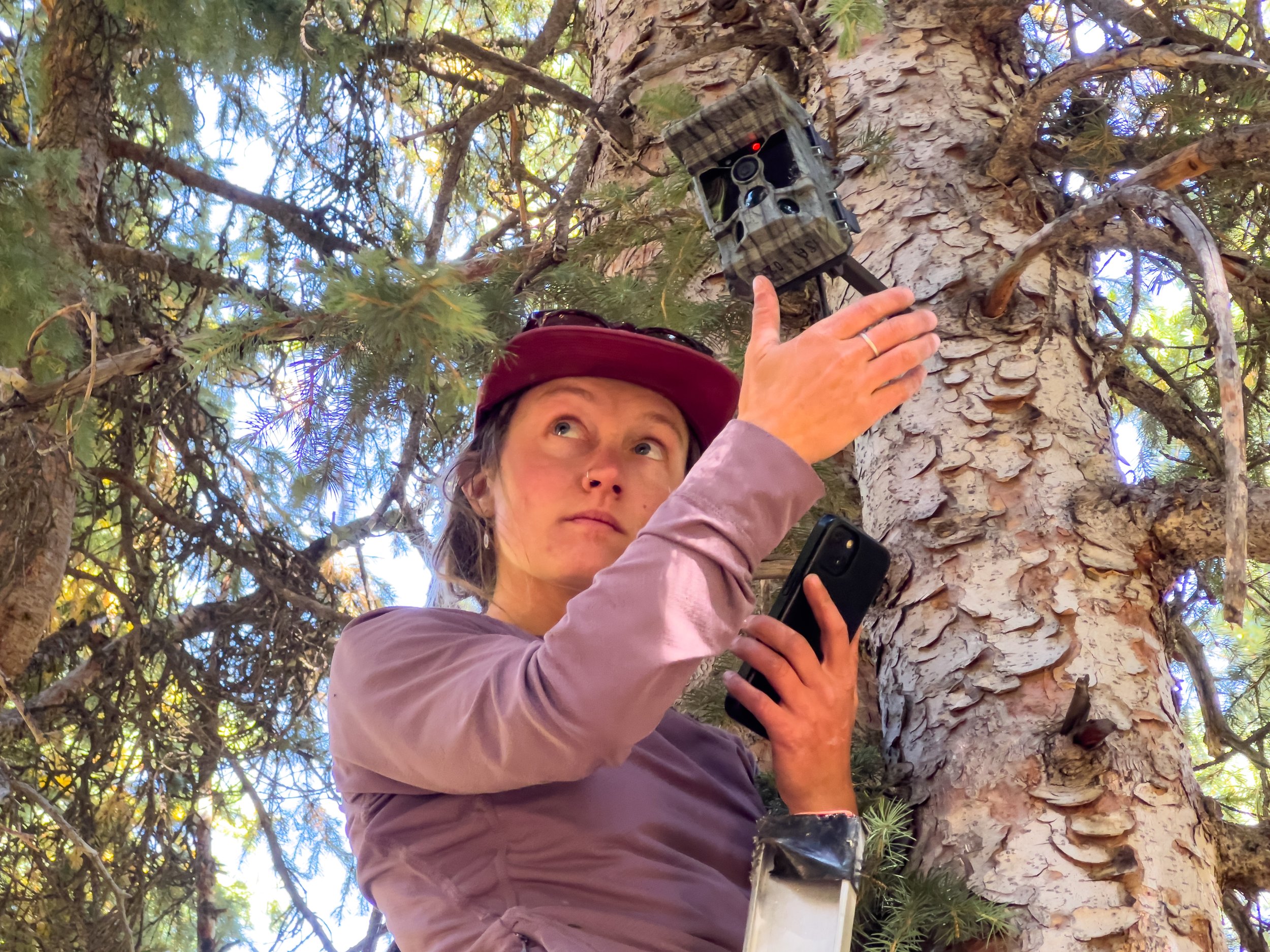
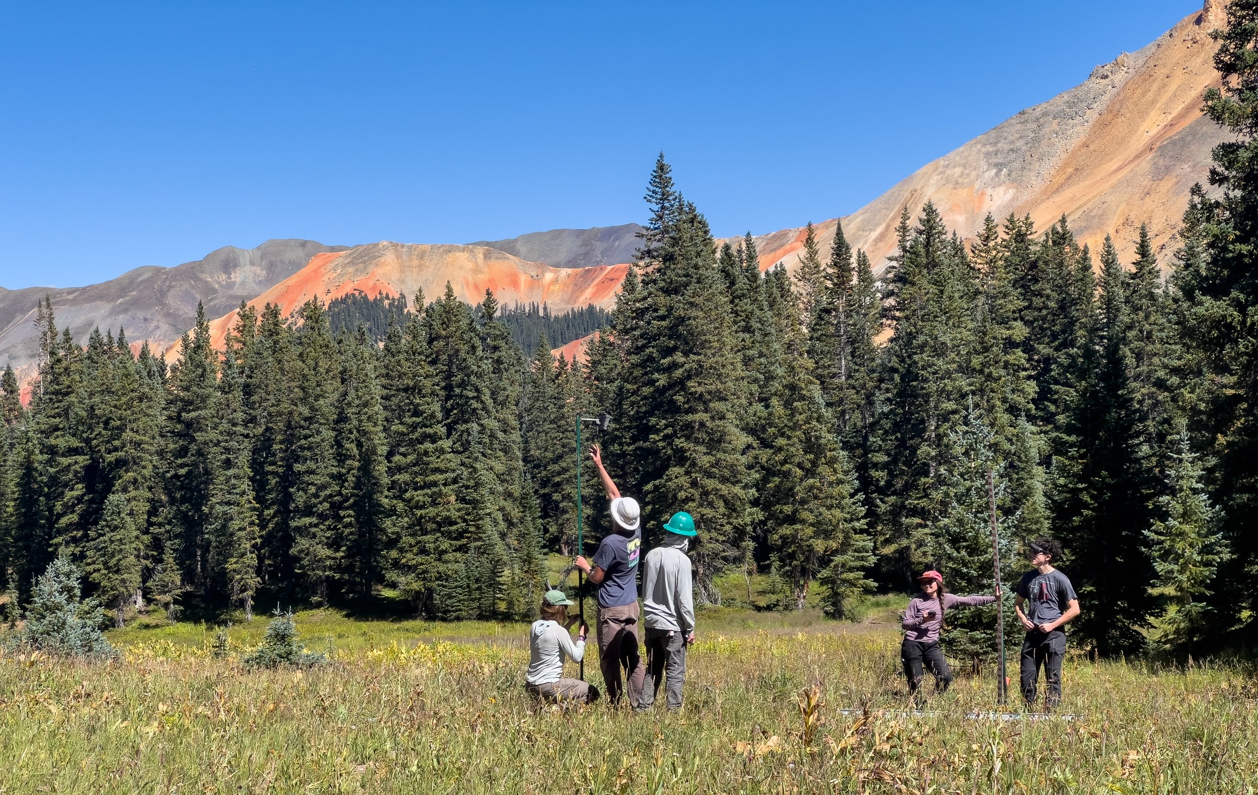
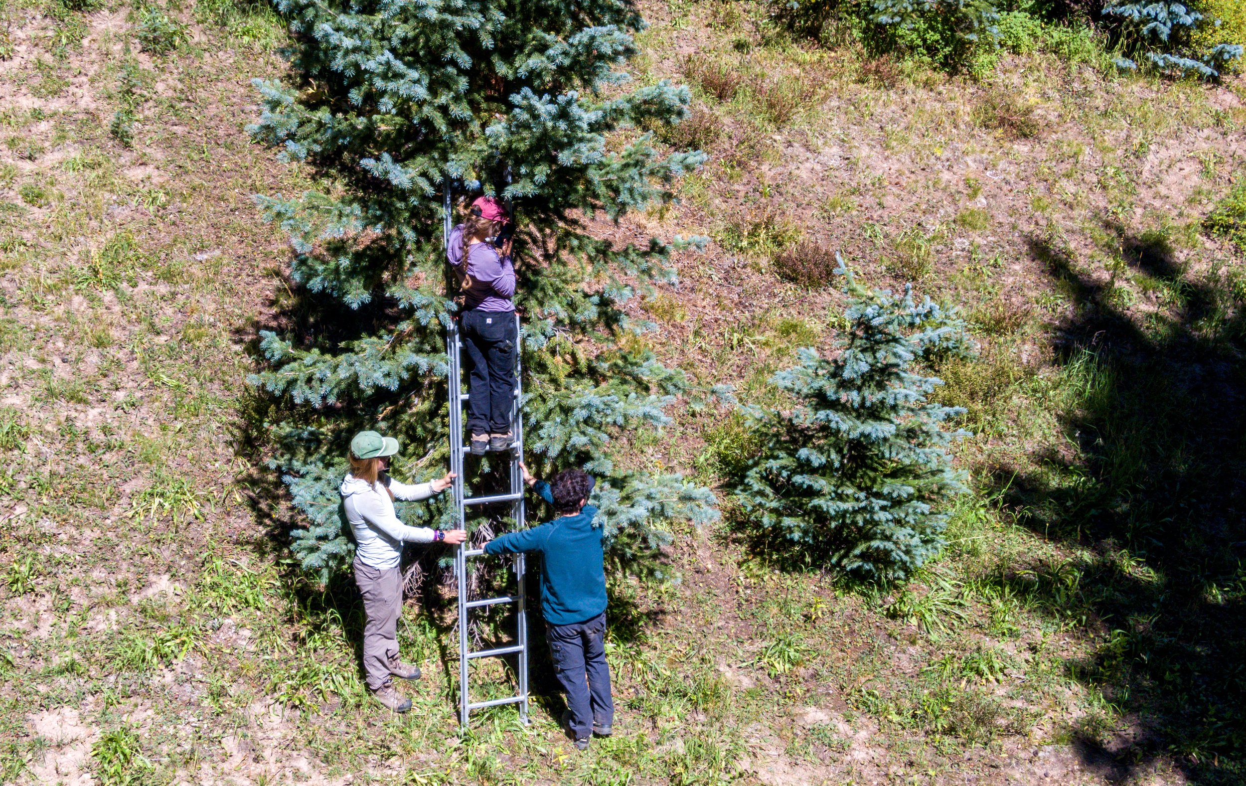
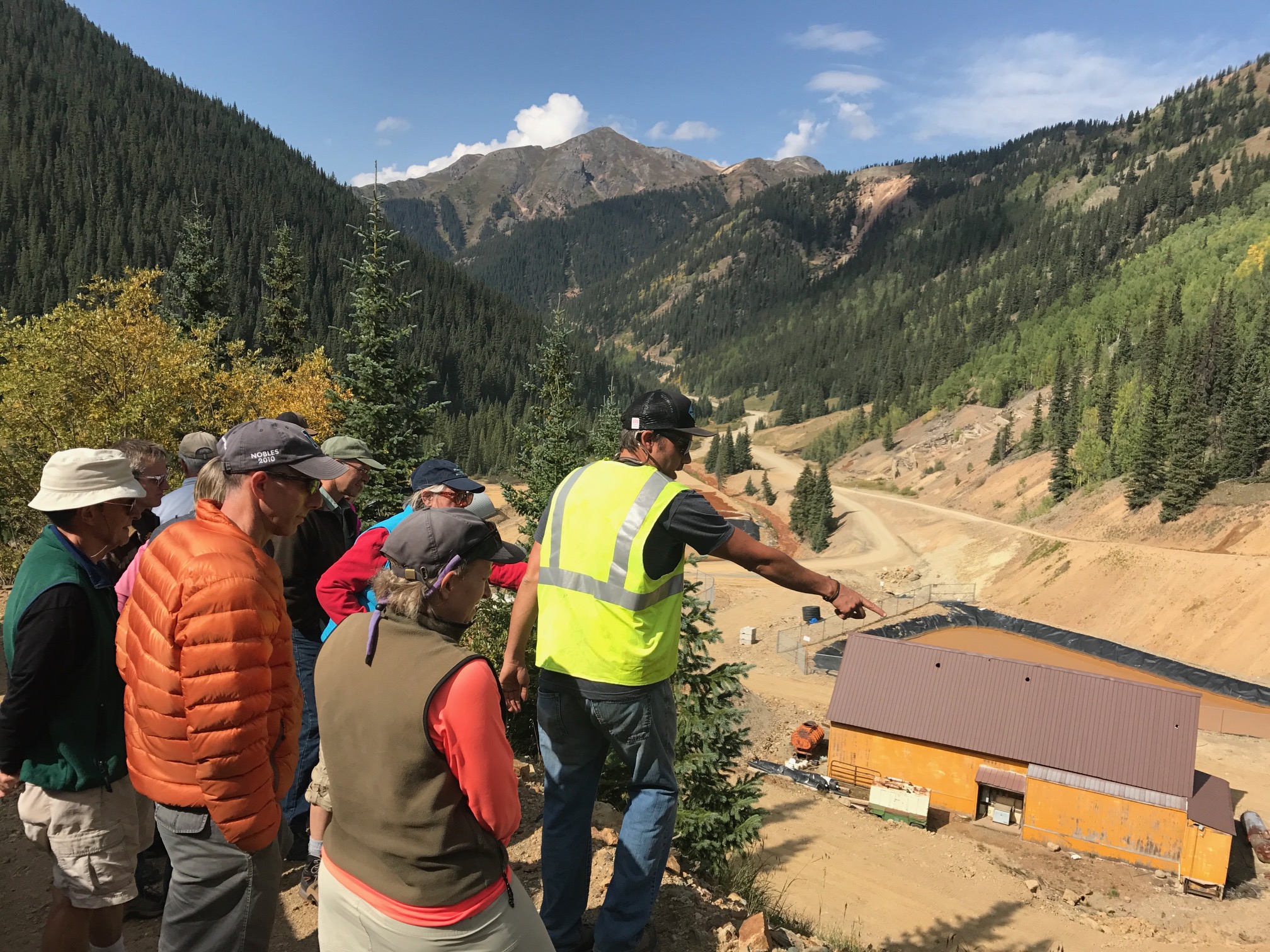
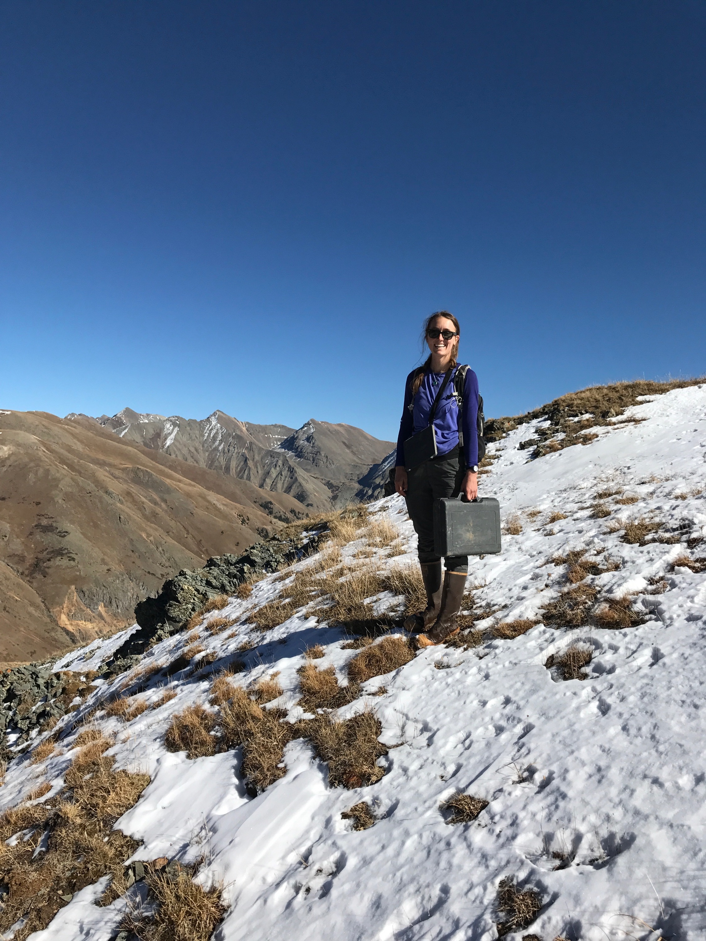
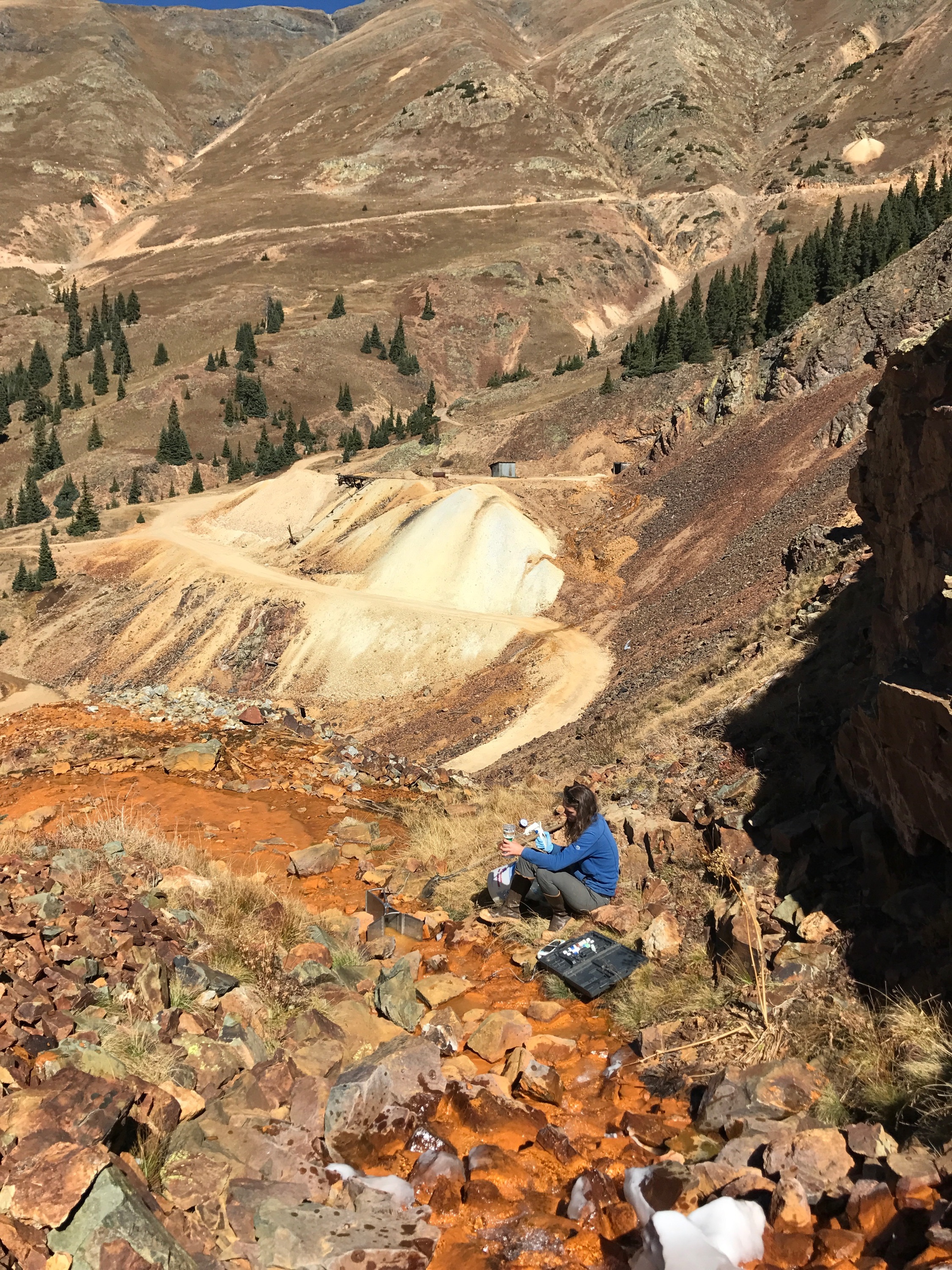
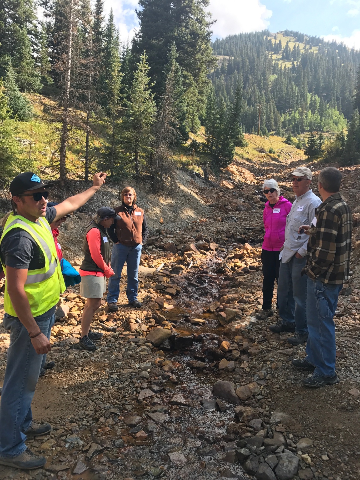
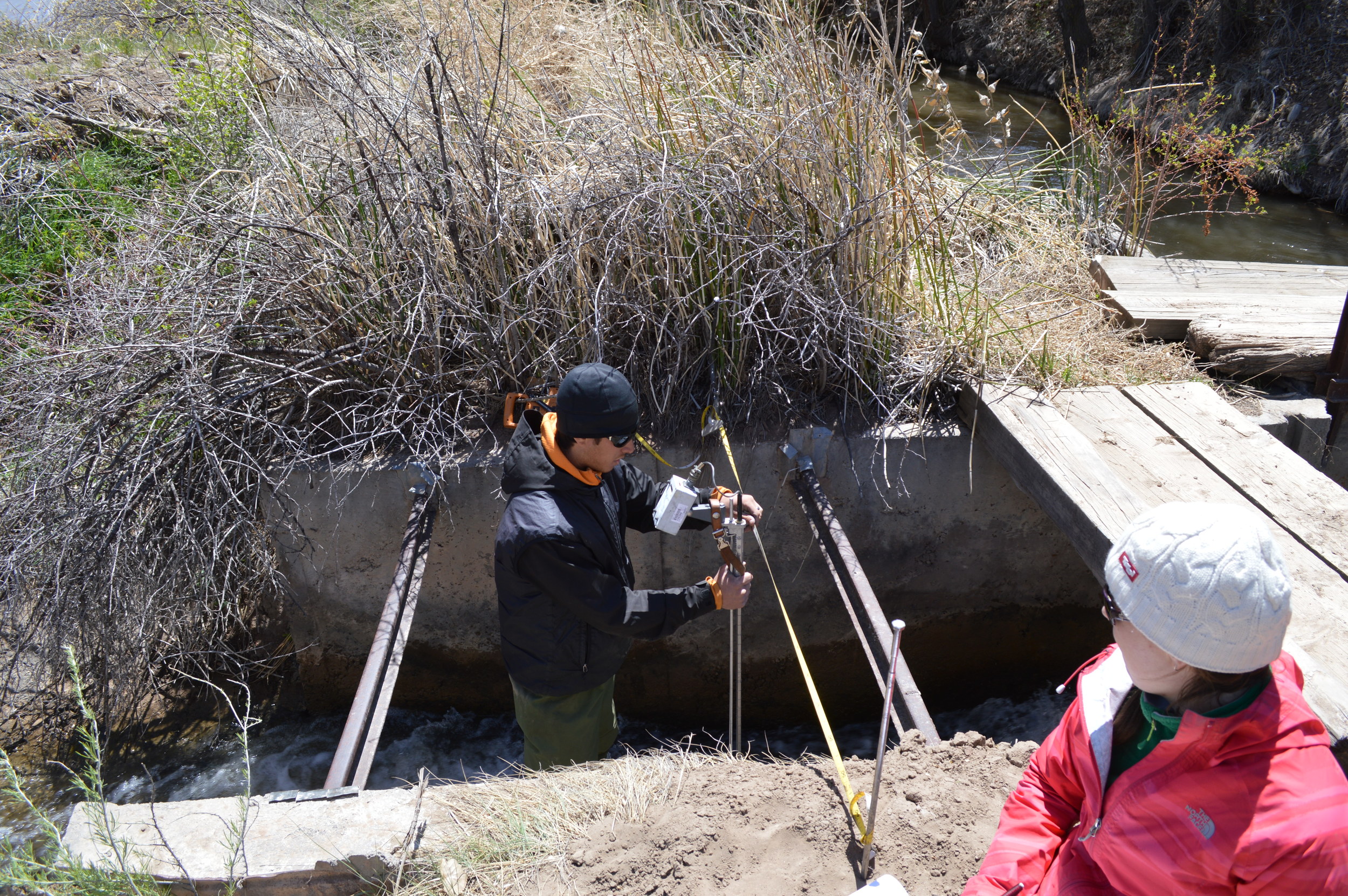
We collected water samples from streams, springs, shallow groundwater (piezometers), domestic drinking water wells, precipitation, gas wells, and irrigation ditches during low flow (autumn 2008) and high flow (spring/summer 2009). The samples have been analyzed for major ions, oxygen 18 isotope, and tritium. Landowners were sent copies of their individual water chemistry results. Mapping of geologic stratigraphy, wetlands, and seeps has also been completed. Preliminary analysis of results have been completed and are available in a report produced by Dr. Williams and Adrianne Kroepsch.

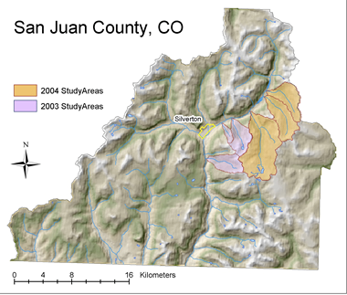
Geology in Study Area

The light yellow band (approximately horizontal) is the Fruitland Outcrop. City and River locations are labeled. Durango is on the left edge of the map. (Click on map for larger image)

Principle Investigators:

Christopher Peltz, MSI; Dr. Koren Nydick, MSI; Dr. Mark Williams, University of Colorado at Boulder; and Dr. Gary Gianniny, Fort Lewis College

Field Technicians & Assistants:

Jordan VanSickle and Tom Osborn, MSI & Fort Lewis College

Thanks to our collaborators who helped on the project:

A huge thank you to the landowners who cooperated with us on this investigation.

We appreciate input and assistance from San Juan Public Lands (USFS/BLM) staff, including Matt Janowiak, Kelly Palmer, Pam Leschak, Thomas Johnson, Bob Brantlinger, Rick Rymerson, Walt Brown, Dave Swanson, and Brian Parker. Pam Leschak assisted in collecting piezometer samples. Thomas Johnson collected some gas well samples. Bob Brantlinger provided GIS maps.

Thank you to Christine Seibold at the INSTAAR laboratory at University of Colorado at Boulder for coordinating lab analysis of samples.

Thanks to the project funder:

San Juan Public Lands Center - Bureau of Land Management

Evaluating Alpine Sensitivity

New Tools for Evaluating Alpine Sensitivity & Water Quality in the Upper Animas Watershed in San Juan County, CO

The primary goal of this EPA-funded project is to take both existing and newly created data relating to water quality and to create an integrated user-friendly set of tools, i.e., maps, tables and GIS application, to be utilized by the San Juan County Board of County Commissioners (BOCC), Planning Commissioners and Assessor in making scientifically-based land use decisions—specifically as relates to effects on water quality and human health issues.

First Year Progress
Good progress has been made to date on the first year work plan. In spite of a late start (Aug.1, 2003 related to funding delays), all field work in the first year study areas has been accomplished. Initial polygon maps of land types have been digitized along with water sampling and landmark point files. This data is currently being attributed, checked for accuracy and assembled into GIS. Approximately 20 square kilometers was mapped in Deer Park, Arrastra Gulch and Blair Gulch (twice as much as proposed). Ongoing analysis of water samples is being conducted at University of Colorado this fall. Now that the field season is over, existing water quality data gathered by the Animas River Stakeholders Group (1994-2001) will be arranged into a useful format for county planners.

Second Year Progress
Additional watersheds were mapped and water samples were analyzed. Animas River Stakeholder Group data was organized. All data was displayed spatially using Geographic Information System (GIS) mapping. An interactive web-based mapping tool was created for use by county planners. Results of the project were presented to the San Juan County Board of County Commissioners (BOCC), Planning Commissioners, and Assessor in the summer of 2005. MSI also trained the San Juan County planner on how to use the interactive web mapping tool and provided free tuition for the county planner and assessor to attend its Geothechnologies (GIS and GPS) course in October.

Collaborators
Dr. Mark Williams and Kim Raby (University of Colorado), Dr. Bill Simon (Animas River Stakeholders Group), and Bill Ball (Mountain studies Institute). MSI was awarded an EPA-Region 8 Regional Geographic Initiative grant to fund this project.